Log in
All resources
Create a design
34,631 Free Images of 1782 Maps
maps in the library of congress
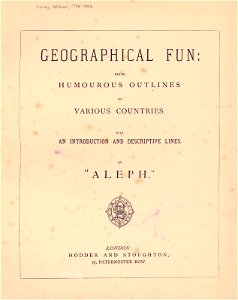
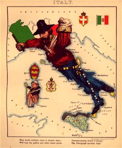
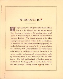
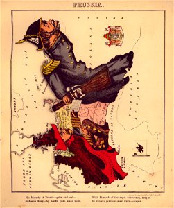
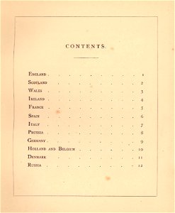
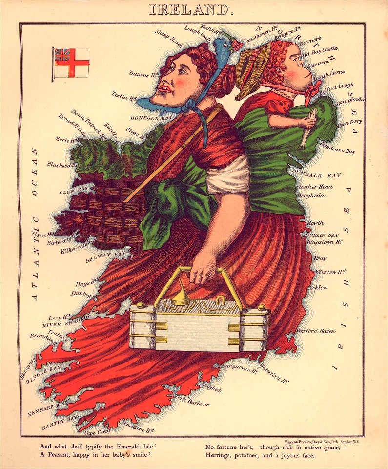
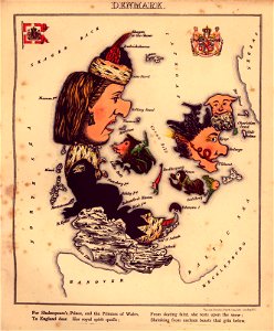
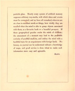
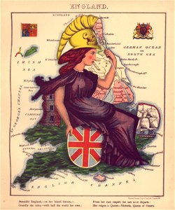
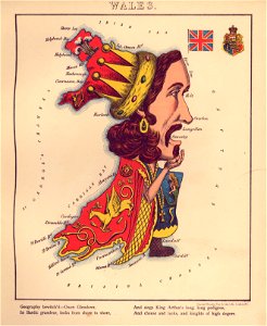
geographical fun - being humourous outlines of various countries
with an introduction and descriptive lines
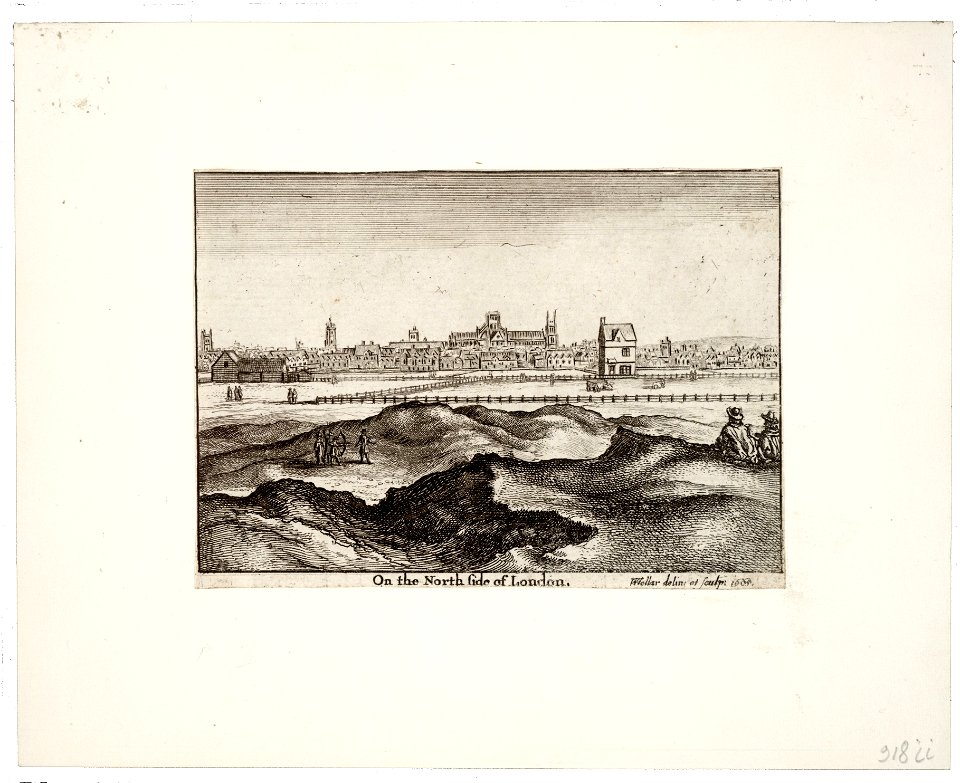
maps made in the 17th century
atlantis magni tomus quintus (biblioteca comunale di trento)
atlantis magni tomus quartus (biblioteca comunale di trento)
university of toronto wenceslas hollar digital collection
hollar maps and plans of london
maps made in the 18th century
atlantis magni tomus secundus (biblioteca comunale di trento)
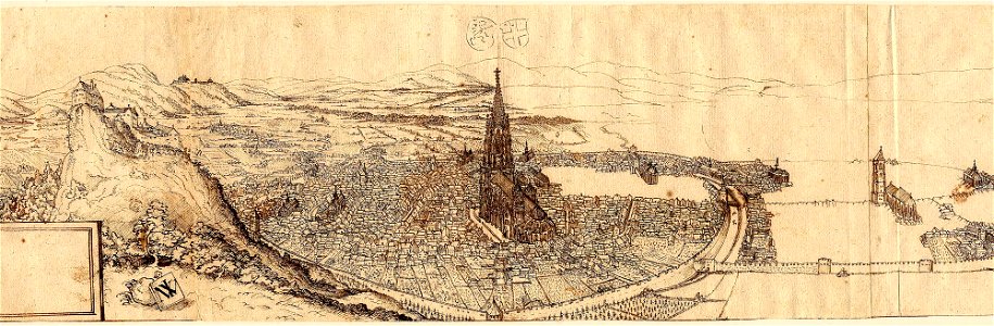
old maps of freiburg im breisgau
ink drawing
demolished buildings in groningen (city)
old maps of groningen (city)
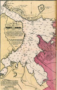
josé maría de la torre
cuba in the 1860s
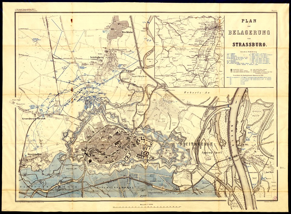
collections de la bibliothèque nationale et universitaire de strasbourg
siege of strasbourg
maps made in the 18th century
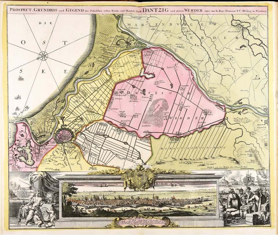
johann baptist homann
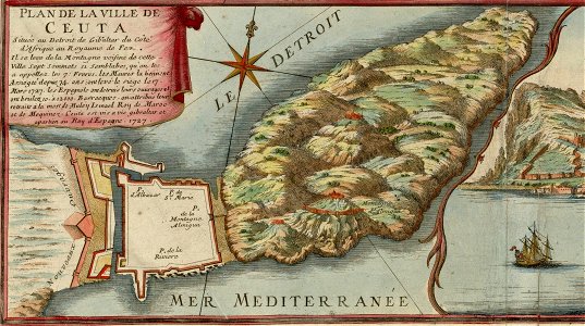
spain in the 1720s
nicolas de fer
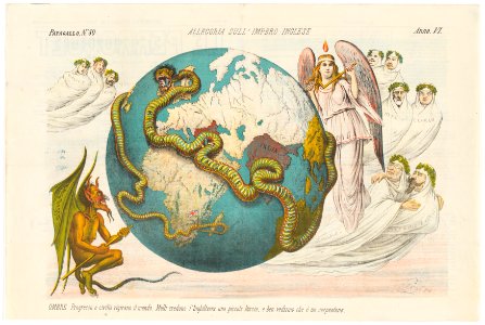
popular science monthly illustrations/unused images
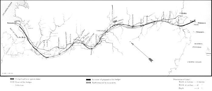
old maps of panama
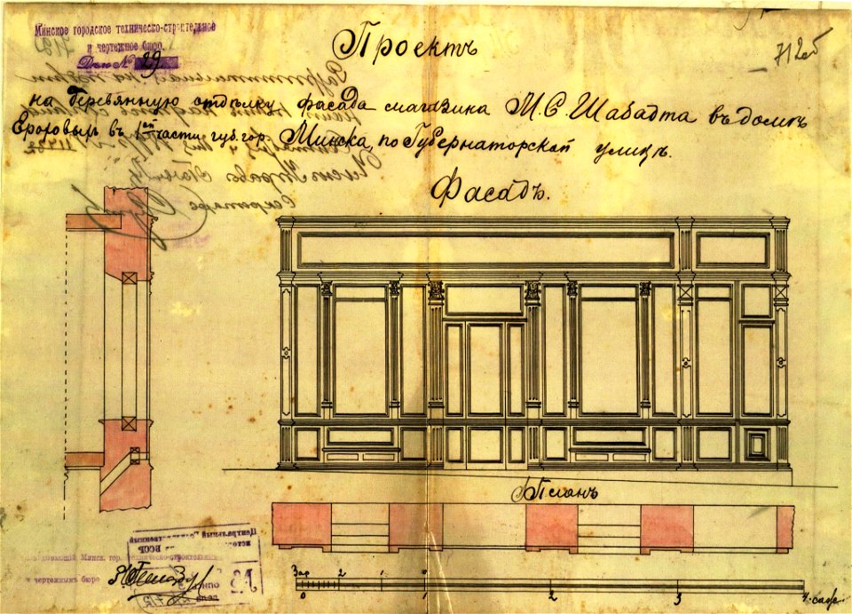
historical images of minsk
minsk
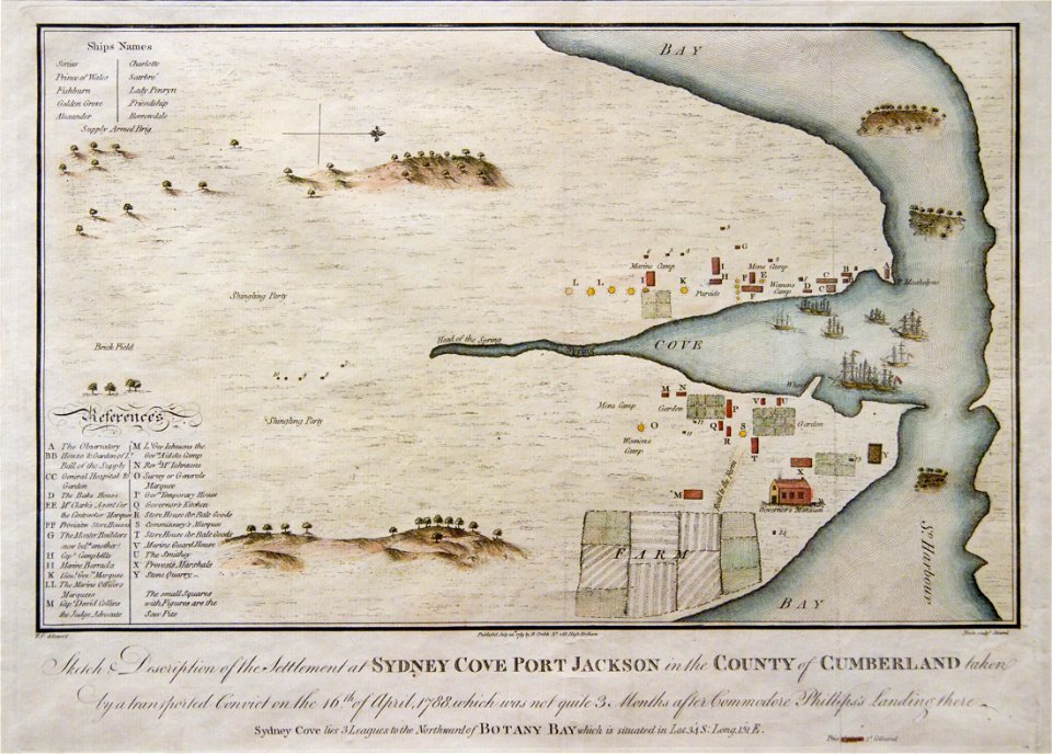
port jackson
sydney cove
collections de la bibliothèque nationale et universitaire de strasbourg
maps of strasbourg in the 19th century
english-language title pages
title pages of maps
second cataract of the nile
lepsius-projekt - maps
prints from bonne atlas de toutes les parties at the peace palace library
dien (printer)
engravings of topographia saxoniae inferioris
history of plau am see
prints from bonne atlas de toutes les parties at the peace palace library
dien (printer)
atlantis magni tomus secundus (biblioteca comunale di trento)
maps made in the 17th century
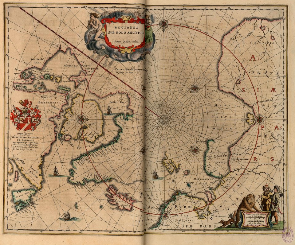
old maps of the arctic
copper engraving
atlantis magni tomus quintus (biblioteca comunale di trento)
maps made in the 18th century
atlantis magni tomus quintus (biblioteca comunale di trento)
maps made in the 18th century
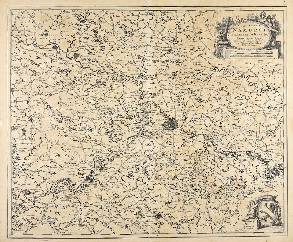
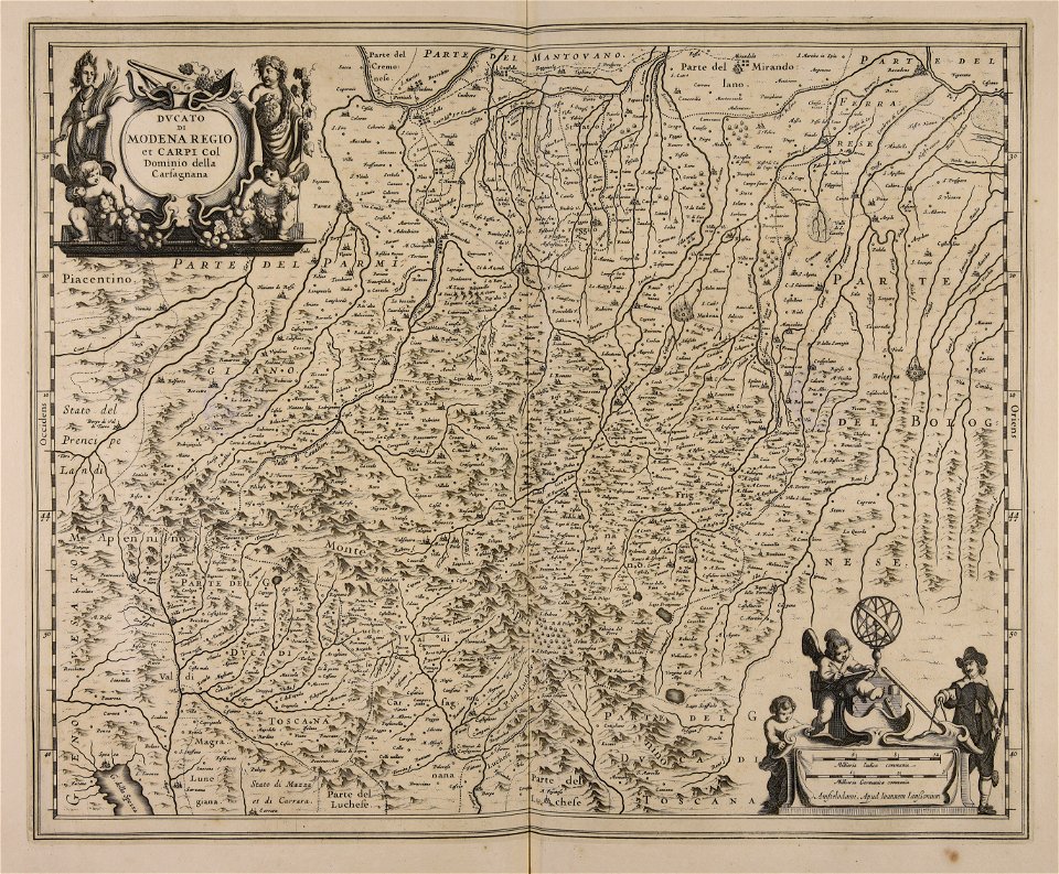
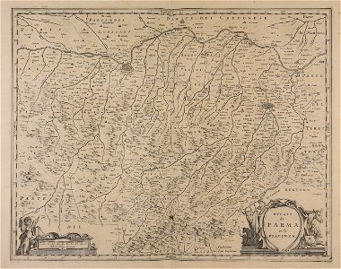
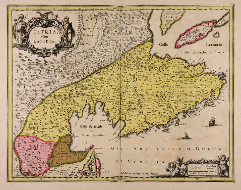
maps made in the 17th century
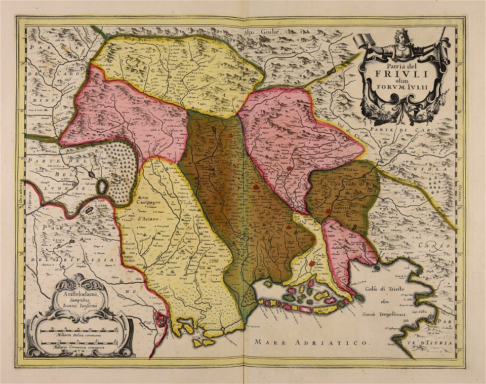
friuli-venezia giulia
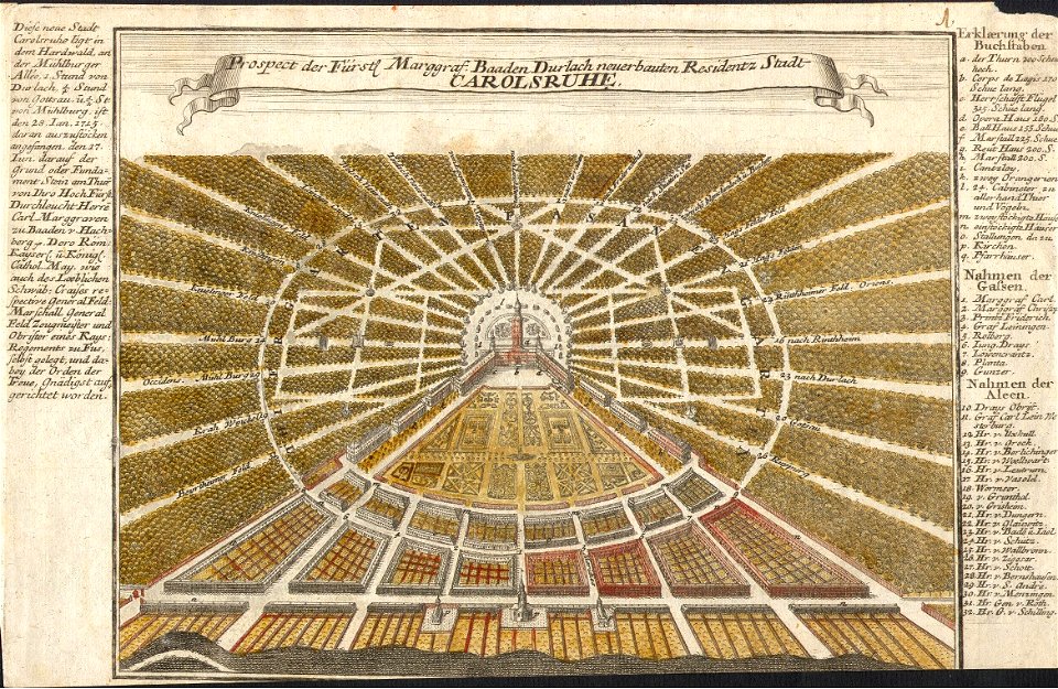
karlsruhe palace
gabriel bodenehr
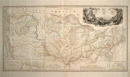
maps of the united states
karl bodmer
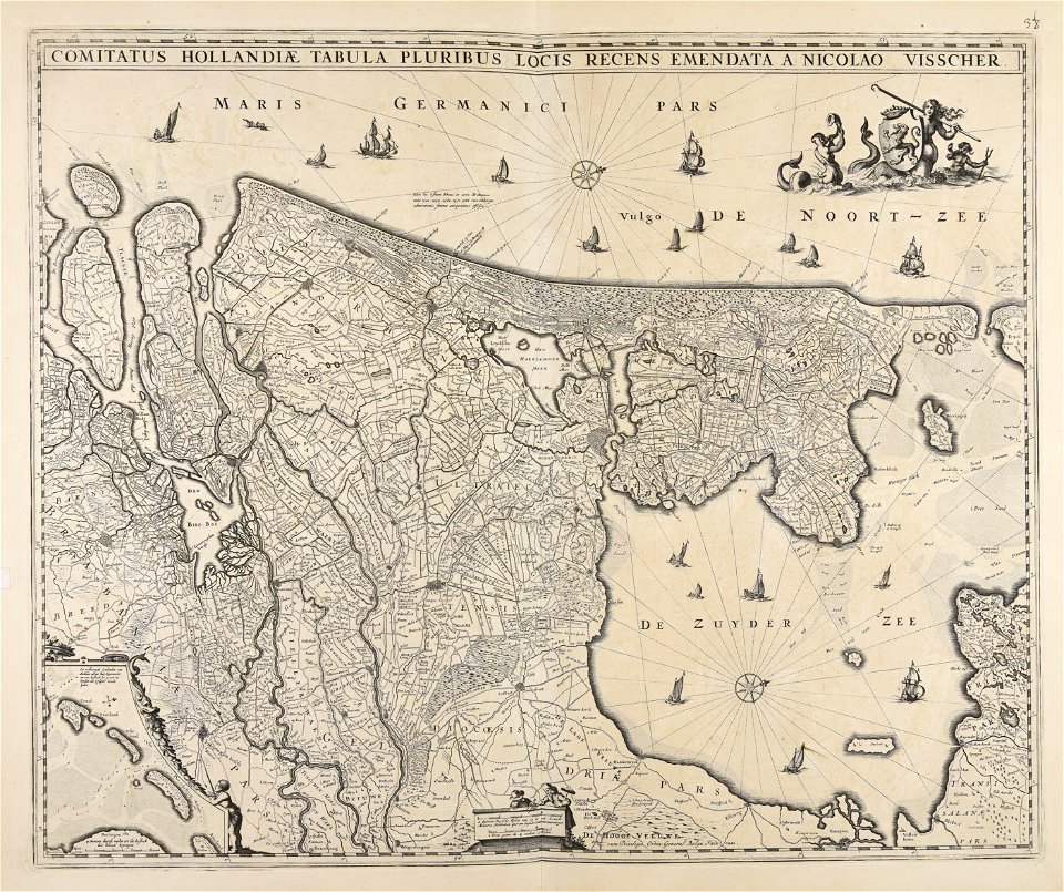
maps made in the 17th century
paesi bassi
maps made in the 17th century
nicolaes visscher ii
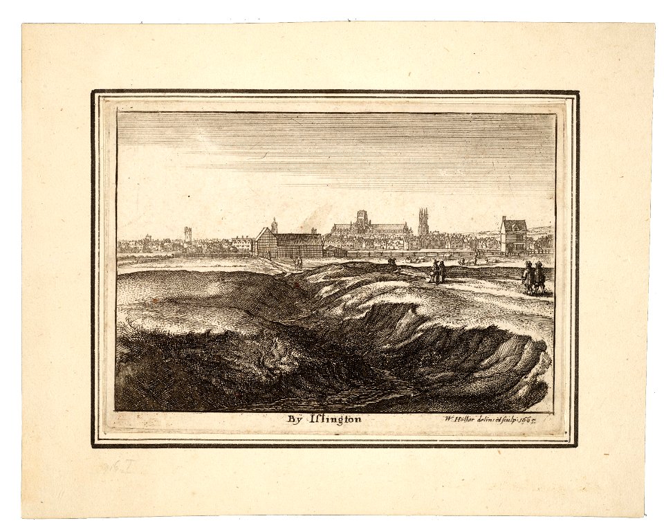
university of toronto wenceslas hollar digital collection
prints by wenzel hollar
university of toronto wenceslas hollar digital collection
prints by wenzel hollar
maps made in the 17th century
jan janssonius
university of toronto wenceslas hollar digital collection
prints by wenzel hollar
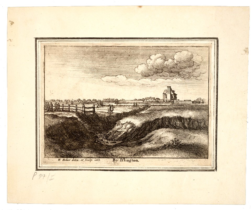
university of toronto wenceslas hollar digital collection
prints by wenzel hollar
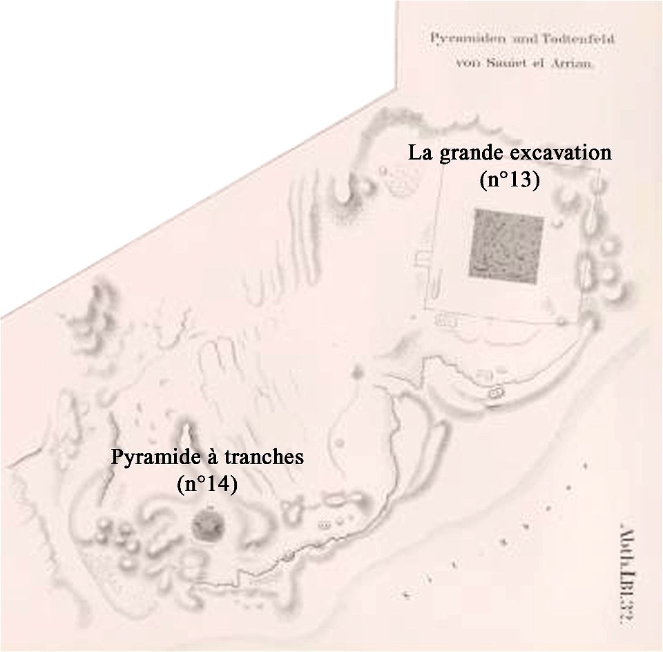
lepsius-projekt - pyramids
lepsius-projekt - maps
old maps of zürich
zürich
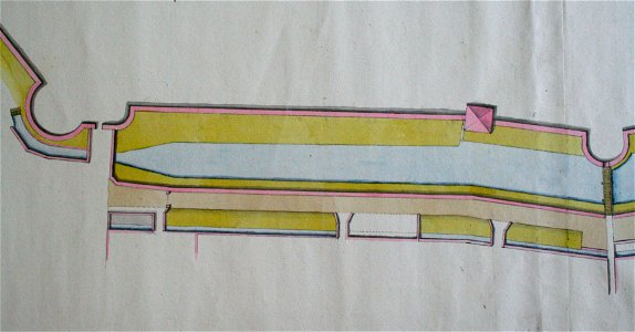
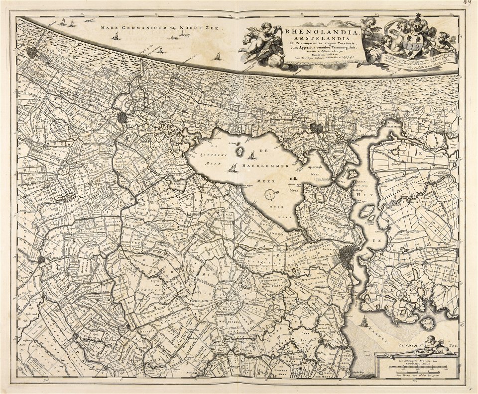
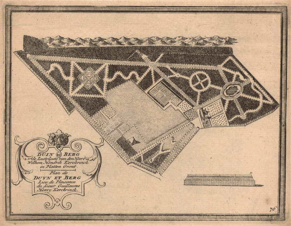
maps of zuid-kennemerland
hendrik de leth
maps made in the 17th century
nicolaes visscher ii
maps of zuid-kennemerland
hendrik de leth
norway, sweden, and denmark- with excursions to iceland and spitzbergen; handbook for travellers (1909)
maps of skansen
18th-century oil portraits of men at half length
18th-century family portraits
maps from the earth and its inhabitants, vol. vi
charles eugène perron
torquato tasso in art
italian-language maps
18th-century paintings in the museu de belles arts de valència
rafael ximeno y planes
oil paintings of the royal museums greenwich
1802 in art
maps made in the 18th century
jeremias wolff
maps made in the 17th century
jan janssonius
maps made in the 17th century
jan janssonius
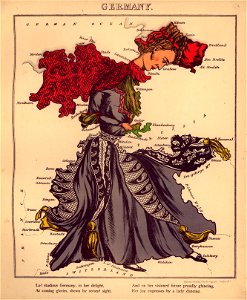
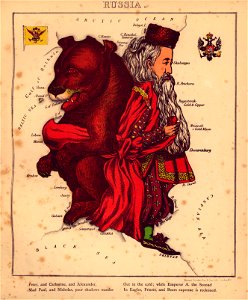
geographical fun - being humourous outlines of various countries
maps in the library of congress
geographical fun - being humourous outlines of various countries
maps in the library of congress
geographical fun - being humourous outlines of various countries
maps in the library of congress
geographical fun - being humourous outlines of various countries
maps in the library of congress
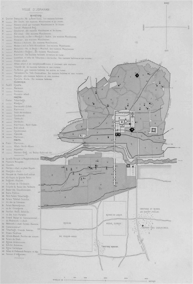
list of paintings and plots by pascal coste and eugène flandin
isfahan
maps made in the 17th century
nicolaes visscher ii
geographical fun - being humourous outlines of various countries
maps in the library of congress
geographical fun - being humourous outlines of various countries
maps in the library of congress
geographical fun - being humourous outlines of various countries
maps in the library of congress
geographical fun - being humourous outlines of various countries
maps in the library of congress
geographical fun - being humourous outlines of various countries
maps in the library of congress
geographical fun - being humourous outlines of various countries
maps in the library of congress
geographical fun - being humourous outlines of various countries
maps in the library of congress
geographical fun - being humourous outlines of various countries
maps in the library of congress
geographical fun - being humourous outlines of various countries
maps in the library of congress
geographical fun - being humourous outlines of various countries
maps in the library of congress
geographical fun - being humourous outlines of various countries
maps in the library of congress
geographical fun - being humourous outlines of various countries
maps in the library of congress
geographical fun - being humourous outlines of various countries
maps in the library of congress
geographical fun - being humourous outlines of various countries
maps in the library of congress
geographical fun - being humourous outlines of various countries
maps in the library of congress
geographical fun - being humourous outlines of various countries
maps in the library of congress
geographical fun - being humourous outlines of various countries
maps in the library of congress
geographical fun - being humourous outlines of various countries
maps in the library of congress
geographical fun - being humourous outlines of various countries
maps in the library of congress
geographical fun - being humourous outlines of various countries
maps in the library of congress
geographical fun - being humourous outlines of various countries
maps in the library of congress
geographical fun - being humourous outlines of various countries
maps in the library of congress
geographical fun - being humourous outlines of various countries
maps in the library of congress
geographical fun - being humourous outlines of various countries
maps in the library of congress
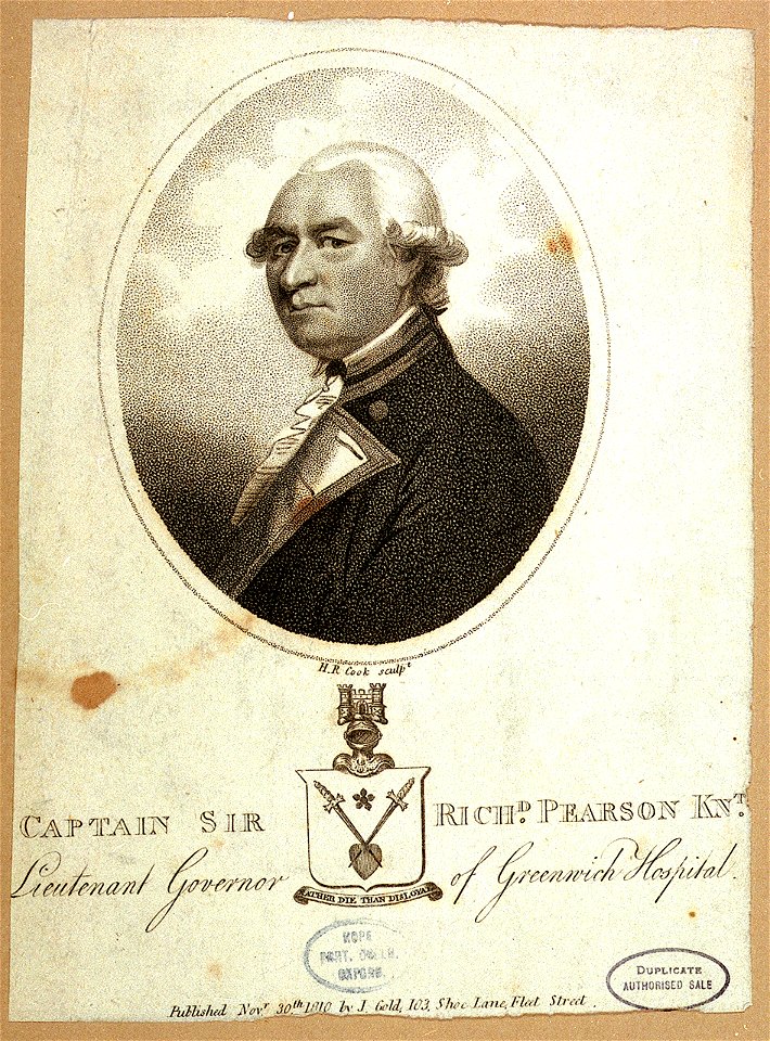
joyce gold
printing
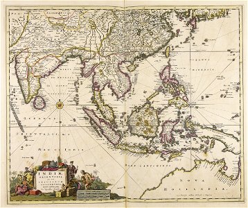
maps of the dutch east india company - indonesia
1646 drawings in indonesia
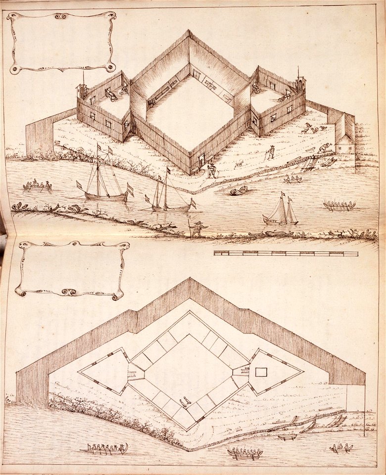
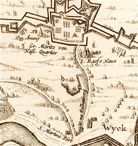
17th-century maps of maastricht
limmel (maastricht)
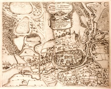
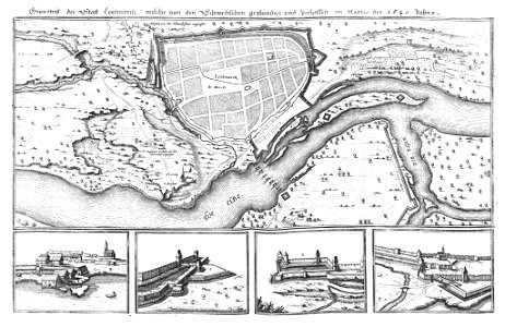
history of leutkirch im allgäu
maps of the thirty years' war
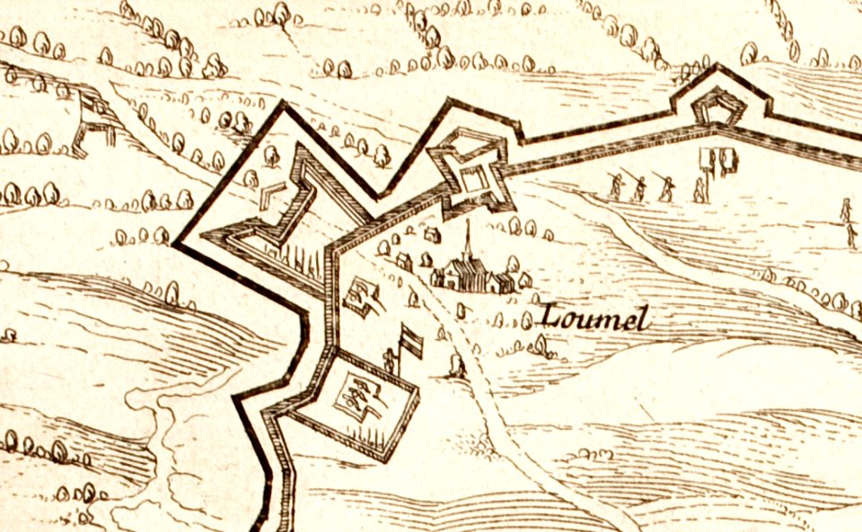
17th-century maps of maastricht
amby (maastricht)
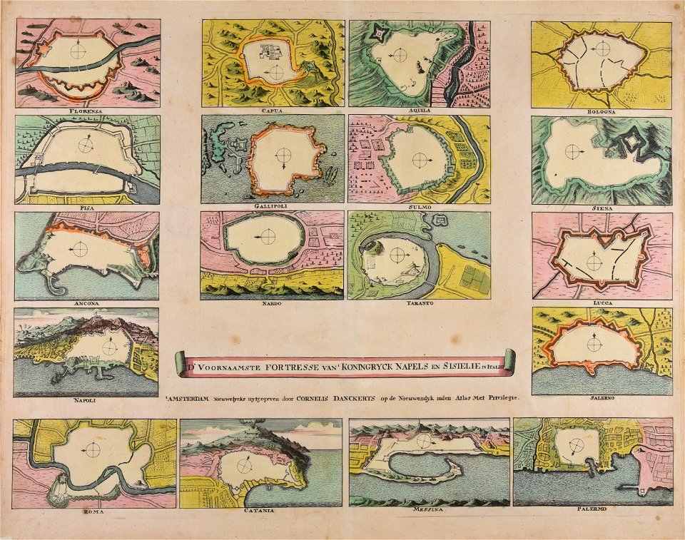
maps made in the 18th century
cornelis danckerts (i)
pictorial history of the russian war 1854-5-6 by george dodd
historical images of kronstadt
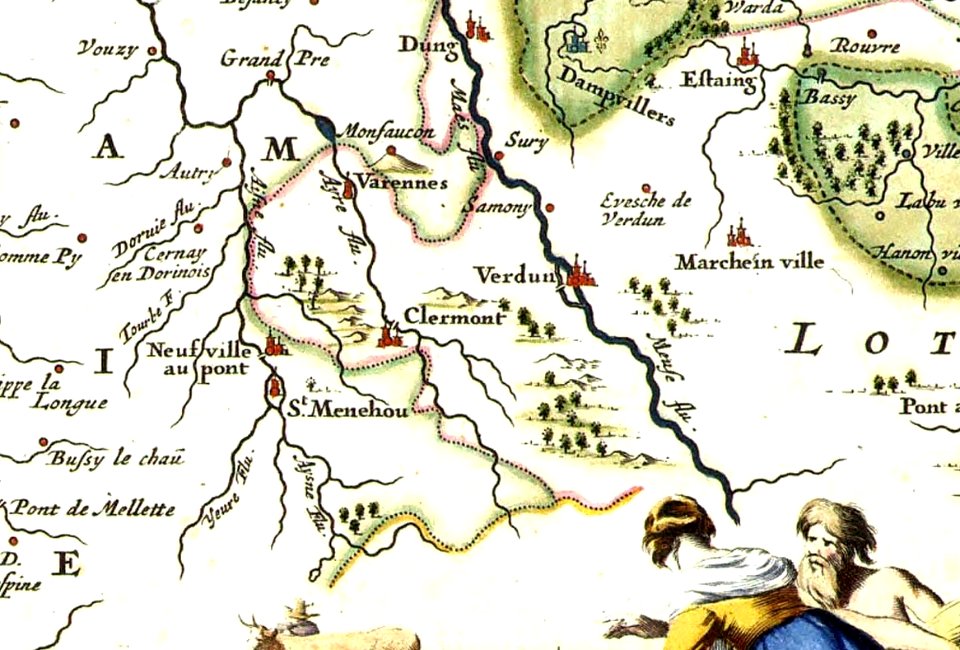
varennes-en-argonne
argonne
images of venice by jacopo de' barbari
barbary
18th-century engraved oval portraits of men at bust length
joseph banks in art
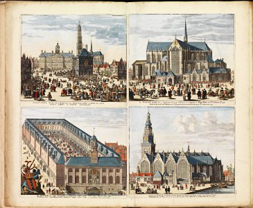
oude kerk amsterdam in art
frederick de wit
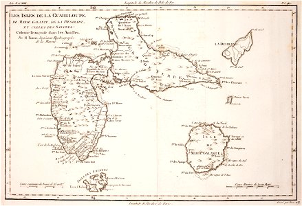
18th-century maps of guadeloupe
dien (printer)
friedrichshafen in art
maps of bodenseekreis
geographical fun - being humourous outlines of various countries
maps in the library of congress
geographical fun - being humourous outlines of various countries
maps in the library of congress
geographical fun - being humourous outlines of various countries
maps in the library of congress
geographical fun - being humourous outlines of various countries
maps in the library of congress
architectural prints by wenzel hollar
southwark cathedral
prints by wenzel hollar
views of london
printing
1848
maps made in the 17th century
istria
maps made in the 17th century
nicolaes visscher ii
illustrations from le tour du monde by eugène flandin
volume 4 of le tour du monde
cornell: persuasive cartography: the pj mode collection
cornell university library
history of the elbe
elbe in litoměřice
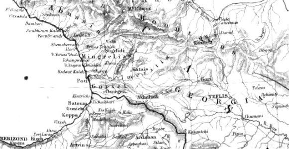
pictorial history of the russian war 1854-5-6 by george dodd
1856 maps of georgia
maps made in the 17th century
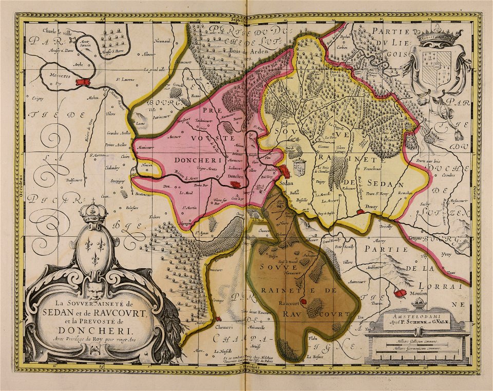
principality of sedan
9901 - 10000 of 34,631
Next page
/ 347